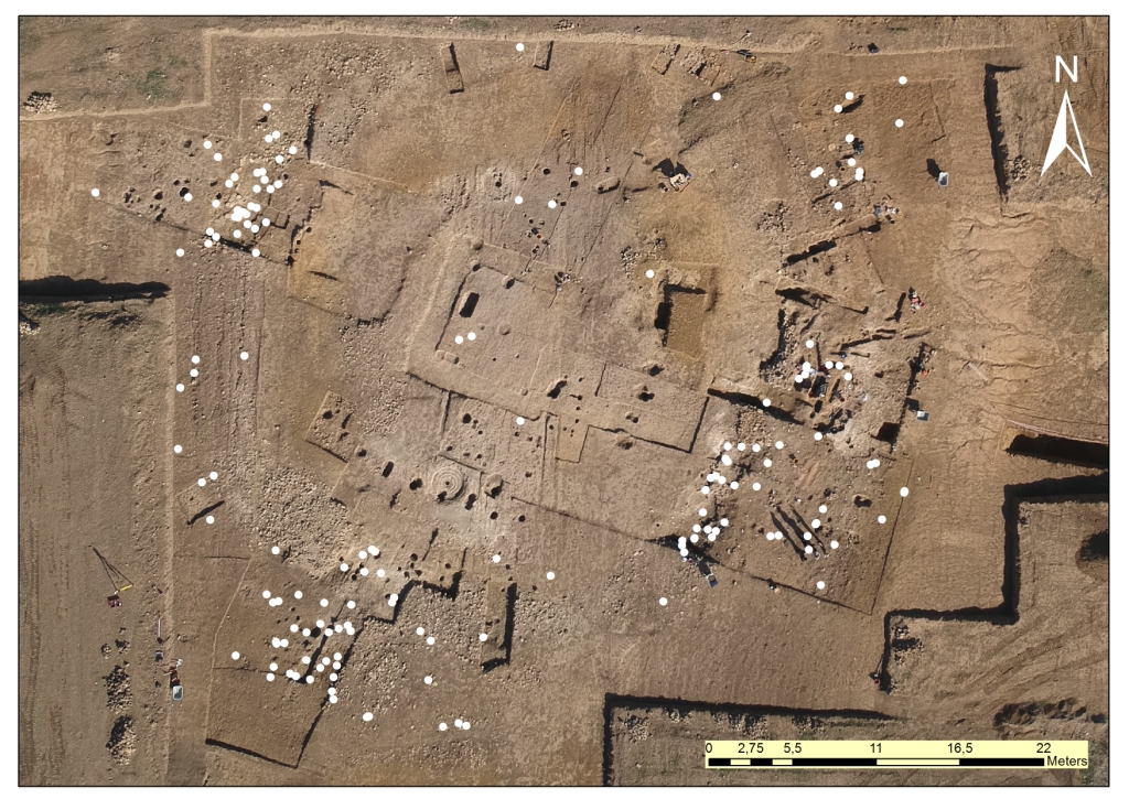
The creation of a GIS analysis environment for the study of the archaeological finds from the site Vetricella is aimed at producing new information by integrating spatial to alphanumeric data. The position of the finds was documented with the aid of the total station that produced a cloud of points representing their location in the stratigraphic context (Fig.). The alphanumeric data derives from the classification and study of the metal finds recovered over the course of the excavation campaigns conducted within the nEU-Med project.
The first phase of the study was based on merging the alphanumeric and spatial data by way of joins between the respective data tables. A point was created for each find recorded in the database, reflecting its physical location. The interaction between these different sets of data will allow to carry out analyses on the spatial and chronological distribution of the finds as well assessing the presence of functional associations among the various classes of objects in well-defined contexts.