Geomorphological and geoarchaeological analysis along the Valley of river Pecora and river Ferriere currently ongoing, being part of the PhD project “Geoarchaeology of Medieval Landscape between the Colline Metallifere and the Tyrrhenian Sea (ERC nEU-Med Project)”.
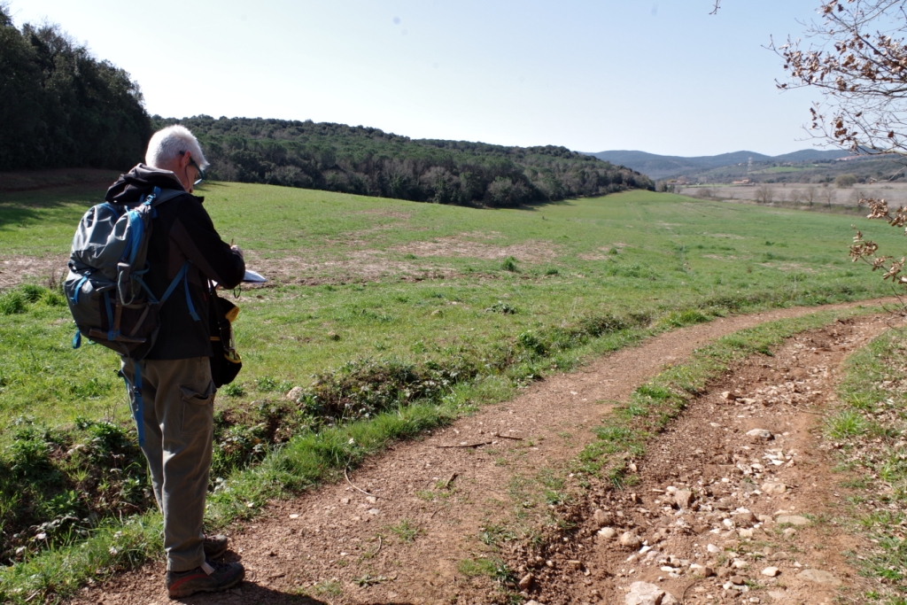
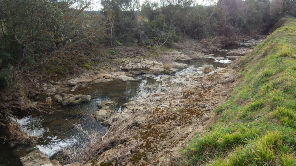
Field survey and Remote Sensing analysis (LIDAR, multi-temporal images) are now focused in the area between the archaeological site of Vetricella (Scarlino) and Massa Marittima (Fig.1). Sedimentological and geomorphological data collected so far show an abrupt change in the landscape during the time span interested by the nEU-Med project. The ancient valley was characterized by swamp areas cut by waterfalls, in which fluviatile and palustrine carbonate sediments are deposited (Calcareous Tufa) (Fig.2), whilst the presence of ancient riverbeds attests how the watercourse was flowing in different positions than the actual. These landscape modifications are probably related to anthropic dynamics, as shown by the presence of hydraulic management activities (e.g. artificial channels, levees and barriers).
Geomorphology is a branch of Earth Science which studies landforms (morphology) and their processes that mould the surface of the Earth (landscape). It provides useful data on current and ancient landscape dynamics, resulting as a powerful tool for geoarchaeological purposes. Geomorphology, linked with sedimentology, pedology and micromorphology, allows to understand the physical palaeoenvironmental characteristics around archaeological sites at different scales, as well as recognize and assess the relationship between natural and anthropic dynamics and their impact on palaeoenvironmental modifications.